In modern infrastructure planning, the ability to understand terrain, assets, and environmental conditions from above has become a strategic advantage. The term skyscanners refers to advanced aerial scanning solutions that use drones, aircraft-mounted sensors, LiDAR, photogrammetry, and geospatial analytics to capture precise information from the sky. For water engineering, drainage design, pipeline routing, stormwater management, and complex civil works, this technology can transform how decisions are made before construction begins.
For engineering-focused organizations such as Ben Slilat, skyscanners are not simply imaging tools. They are part of a broader digital workflow that connects field reality with hydraulic calculations, design models, risk assessments, and execution planning. When aerial data is collected and interpreted correctly, it reduces uncertainty, improves coordination, and supports more resilient infrastructure outcomes.
skyscanners are aerial data-capture systems designed to scan, map, measure, and analyze physical environments from above. Depending on the project requirements, they may include drone-based cameras, LiDAR sensors, multispectral cameras, thermal imaging systems, GPS receivers, and ground control points that improve geospatial accuracy.
Unlike conventional site photography, skyscanners generate measurable engineering data. They can produce orthomosaic maps, elevation models, point clouds, slope analysis, contour lines, asset inventories, and high-resolution visual records. This makes them especially useful in projects where land conditions, water flow paths, underground utility corridors, and surface infrastructure must be assessed with precision.
Why skyscanners Matter for Water Engineering
Water engineering depends on a deep understanding of topography, drainage behavior, soil conditions, built assets, and natural constraints. Even minor inaccuracies in slope, elevation, or alignment can influence the performance of a pipeline, culvert, detention basin, pumping station, or stormwater channel. skyscanners help engineers see the full context of a site before design assumptions become expensive field problems.
In urban and semi-urban environments, aerial scanning supports better coordination between existing infrastructure and future works. Roads, buildings, retaining walls, vegetation, drainage outlets, access routes, and potential flood pathways can all be documented quickly. This gives engineering teams a more reliable basis for hydraulic modeling, feasibility studies, execution staging, and maintenance planning.
Core Technologies Behind skyscanners
The effectiveness of skyscanners depends on the sensors and processing methods used. Drone photogrammetry is often selected for high-resolution visual mapping and surface modeling. LiDAR is valuable when accurate elevation data is needed, particularly in areas with vegetation or complex terrain. Thermal imaging can support leak detection, moisture analysis, and the identification of unusual temperature patterns related to buried infrastructure or water movement.
Georeferencing is another critical component. By combining aerial capture with GPS, RTK positioning, and ground control points, engineers can align scanned data with design drawings, GIS layers, and construction coordinates. The result is a practical bridge between real-world conditions and technical design environments.
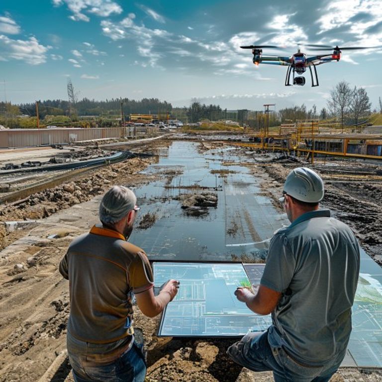
Once the data is collected, specialized software converts raw images and sensor readings into usable engineering outputs. These may include 3D point clouds, digital terrain models, cross sections, volumetric calculations, and layered maps that help project teams evaluate design alternatives with greater confidence.
Applications in Pipeline and Drainage Planning
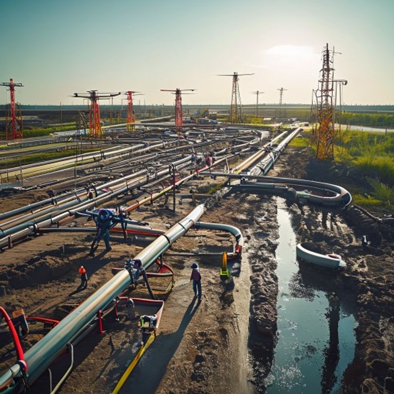
Pipeline planning is one of the areas where skyscanners can deliver immediate value. Aerial scanning helps identify optimal routes, access limitations, slope changes, obstacles, existing structures, and areas that may require special construction methods. In long linear projects, this can significantly improve early-stage planning and reduce the risk of surprises during execution.
For drainage and stormwater systems, skyscanners provide detailed surface information that supports flow path analysis. Engineers can identify depressions, runoff accumulation areas, blocked channels, erosion-prone slopes, and natural discharge routes. When this information is combined with rainfall data and hydraulic modeling, it supports more effective design of culverts, open channels, retention basins, infiltration systems, and flood mitigation measures.
Data Quality: From Aerial Capture to Engineering Insight
High-quality aerial scanning is not only about flying a drone or collecting images. It requires a disciplined workflow that begins with mission planning. Flight altitude, overlap ratio, sensor settings, weather conditions, lighting, control points, and safety considerations all influence the reliability of the final output. Poor capture conditions can lead to distorted models, missing data, or measurements that are unsuitable for engineering use.
After capture, data must be validated. Engineers and geospatial specialists review accuracy, remove noise, classify terrain and objects, and compare outputs against known benchmarks. This quality-control stage is essential because design decisions often depend on small differences in elevation, alignment, or surface condition. Properly processed skyscanners data can become a dependable foundation for planning, budgeting, documentation, and long-term asset management.
Safety, Compliance, and Environmental Value
One of the strongest advantages of skyscanners is the ability to inspect and measure difficult areas without placing teams at unnecessary risk. Steep embankments, active roadways, confined drainage corridors, unstable ground, and flooded zones can be examined from above, reducing exposure while still providing detailed site intelligence.
Environmental value is another important benefit. Aerial scanning can help minimize disturbance by identifying sensitive areas before machinery enters the site. Vegetation, waterways, erosion zones, protected habitats, and existing drainage patterns can be documented early, allowing the engineering strategy to respect both project goals and environmental constraints. In regulated projects, this type of documentation can also support transparent reporting and compliance processes.
Choosing the Right skyscanners Workflow
The right skyscanners workflow depends on the engineering objective. A preliminary feasibility study may require broad aerial mapping and basic topographic information, while detailed design may demand centimeter-level accuracy, LiDAR point clouds, cross sections, and integration with CAD or BIM platforms. For infrastructure maintenance, repeat scanning can be used to compare site conditions over time and detect changes before they become failures.
Selection should also consider terrain type, project scale, accuracy requirements, budget, regulatory limitations, and the intended use of the data. A well-planned workflow avoids over-collection while ensuring that the information captured is technically meaningful. The best results come when aerial scanning is designed around the engineering question, not the other way around.
How Ben Slilat Integrates skyscanners into Advanced Engineering
Ben Slilat operates in a field where planning and execution must work together. Advanced engineering systems require accurate input, practical interpretation, and clear implementation. By integrating skyscanners into the planning process, engineering teams can move from general assumptions to site-specific intelligence, improving the connection between design intent and real-world performance.
In water infrastructure projects, this integration can support route selection, drainage assessment, construction sequencing, quantity estimation, risk mapping, and maintenance strategy. The value is not only in the aerial scan itself, but in how the information is interpreted by professionals who understand hydrology, civil engineering, and field execution. That combination turns data into decisions.
Conclusion
skyscanners are reshaping the way modern water engineering and infrastructure planning are approached. By capturing accurate aerial data and converting it into actionable engineering insight, they help reduce uncertainty, improve safety, support environmental responsibility, and strengthen the quality of design and execution.
As infrastructure demands become more complex, the ability to see, measure, and analyze sites from above will continue to play a growing role. For advanced engineering systems, skyscanners offer a practical path toward smarter planning, more reliable construction, and long-term infrastructure resilience.